
Peekskill Neighbors on a Block
Public sources around a Peekskill address describe land, recorded ownership, transfers, or civic connections in different ways. None is an ordinary roster of every person on a street. Parcel and tax sources are best for defining the block and its parcel identifiers. Election records require an individual match or a lawful elections-purpose request. Library, business-district, and civic sources can add historical or community context, but their public contact points do not prove where a member lives.
| Source | What It Shows About a Block | Access |
|---|---|---|
| County GIS parcel layer | Adjacent parcels, roads, SBL labels, and municipal context | Public map and REST service; boundaries are approximate |
| City tax maps | Lot numbers, roads, common owners, condominiums, and map sheets | Public PDFs; the assessor and city map remain the tax-map authority |
| Assessment roll | Assessed owner, situs, mailing address, class, and tax fields | Annual public PDF |
| WRO deeds | Recorded transfers across parcels and legal-description clues | Index route online; images can be restricted by registration and subscription |
| Voter lookup and file rules | Individual registration or poll-site match, not an anonymous block list | Individual form; full-file access needs an elections purpose |
| Peekskill BID | Downtown commercial and property civic layer | Public contact and board information; no complete residential roster |
| NAACP and PAT | Citywide civic and community connections | Public contact or member-list information; no member roster |
| Field Library | Historical occupants, newspapers, photos, maps, and directories | Library and public archive services |
An owner name or tax mailing address is not an occupancy finding. Renters and other household members are not enumerated by the parcel map. A deed can record a property transfer while an owner lives elsewhere. Treat each record as evidence of the field it actually contains, not a full account of who your neighbors are.
Map Peekskill Neighbors From One Address
The Westchester Municipal Tax Parcel Viewer provides the starting map for the block around a known address. Peekskill parcels are documented as layer 429. Use map browse and Identify to locate the parcel, then pan or zoom to the adjoining polygons. The service supports Identify, Query, Find, a legend, and export, but query or export should be limited to a defined parcel selection rather than used to manufacture a block list.
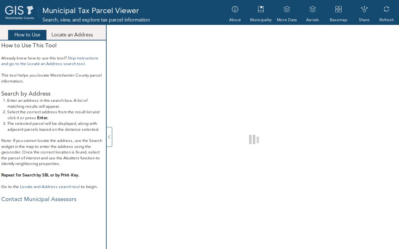
The viewer is a map lead, not a survey. It can put the nearby parcels into view before city and county records are checked.
- Enter or locate the one address in the county viewer and open Peekskill parcel layer 429.
- Use Identify on the parcel, record the road, lot, and Section-Block-Lot, then inspect adjoining polygons by panning or clicking.
- Check the SBL against the city tax map and assessment roll. Keep the situs address and the owner mailing address in separate notes.
- Read each adjacent owner record as assessed ownership evidence, not proof of occupancy or a household list.
- If a transfer date or predecessor needs clarification, use Westchester Records Online with the party, municipality, legal description, or parcel clues, then follow the County Archives route when older records require it.
The process is address → layer 429 → Identify and SBL → city tax map and assessment roll → adjacent owner record → WRO if transfer clarity is needed. For the record trail along an entire named street rather than the immediate block, the Peekskill Street Directory has the street-by-street workflow.
Check Peekskill Parcel Boundaries Carefully
County documentation says its parcel boundaries are approximate and intended for planning or general information. They are not a survey or a definitive local tax map. The service documentation also sets a maximum selection or record limit of 2,000, which is another reason to work from one defined address and its adjoining parcels. A clean map edge is useful for orientation, but it is not final proof of a boundary.
For a tax-map question, compare the county display with the Peekskill property-card and tax-map materials and the assessor's records. The city directs users to verify the red municipal label in the viewer before following the property-card link. Its warning is important: viewer tax data date from 2010 and scanned property cards are around 2006, so current ownership needs a current roll or recorded-deed check.
Note: A parcel polygon locates a land unit, while the city tax map and assessor records resolve the local tax-map question.
Peekskill Neighbor Records and Occupancy Limits
A Peekskill assessment row can include the assessed owner, property or situs address, owner mailing address, class, assessment, exemptions, school-district code, special districts, deed book or page, and an account number. Those separate fields are useful for avoiding same-name errors. A mailing address outside Peekskill can be correct for tax correspondence. It does not say where the owner lives, and the owner's name does not establish who is present in a unit.
WRO adds the recorded transaction layer. A deed may name grantor and grantee, show a recording date, consideration, legal description, spouse, witness, attorney, and book or page clues. It is a transaction trail, not an occupant history. When the property card, assessment roll, and recorded transfer disagree by date, preserve the dates and ask the relevant custodian which record is current rather than filling the gap with an assumption.
Peekskill Development Names on Map 33.11
City Map 33.11, dated May 1, 2025, is a useful geography clue for parcels that belong to a condominium, common-owner tract, or development. The map identifies Woods III, Villa at Woods, Pines, Orchards, Lofts, Hillside, and Fields at Chapel Hill. A development name can be a better search variant than an incomplete street number when the map, tax record, or deed uses a common-property label.
The Peekskill zoning-code and maps page links the local map context with county GIS resources. It helps read roads, zoning, and development labels, but a zoning display does not create a resident directory or replace a parcel record.
Use a mapped development name to locate the correct parcel context, then return to the assessment roll or deed record for the limited ownership information those sources provide.
Peekskill Civic Contacts, Not Rosters
Public community contacts can help someone understand the civic layer around a block, especially downtown or when a development name appears in a map record. They are not evidence that an individual lives nearby. The research found no complete public roster for a neighborhood association, a cluster association, the Peekskill NAACP, or Peekskill Agencies Together. The following contacts are limited to the public functions and details the research identified.
| Public contact layer | What the public information supports | Limit |
|---|---|---|
| Peekskill BID | Downtown Central Commercial District civic and business context, about 25 blocks; office at 1010 Park Street, Suite 2W; 914-734-5585 | Public board and contact information are not a residential roster |
| Peekskill NAACP | Citywide civic contact, with a fourth-Tuesday meeting listed at the Senior Center at 4 Nelson Avenue; 845-260-5910; peekskillnaacp@gmail.com | No member directory was published |
| Peekskill Agencies Together | Monthly fourth-Wednesday community coalition at 2:30, with agencies, churches, library, city, police, school, and college connections | Its member list does not establish member residence |
| Cluster and common-space associations | Development-specific association requirement and common-land maintenance under the city zoning code | No public individual-owner roster was located |
| Field Library | Historical directories, newspapers, maps, photos, and community-record context | Ask about a defined address or year; it is not a current block roster |
The City staff and department directory can help identify public municipal contacts, while Field Library is the strongest documented local-history path. Other named neighborhood associations were not located in the official research, so it is better to leave that gap open than to infer an organization from a subdivision name.
The municipal directory is useful for reaching the appropriate public office when a map, assessment, or code question has a defined record and date range.
Peekskill Neighbors and Voter Limits
New York does not provide an ordinary public street or block roster through its voter lookup. The individual form requires county, last name, first name, date of birth, and ZIP. It can help a registered voter obtain registration or poll-site information for that individual. It is not a tool for entering a block and receiving a list of voters.
Full voter-file access is limited to an elections purpose under Election Law § 3-103(5), with the required certification through the state process. Election Law § 5-508 separately protects confidential voter registrations for qualifying people, and those records must not be reverse engineered. Aggregate voting data does not open individual registration records for neighborhood browsing.
Note: Election information can confirm a lawful individual record, but it cannot fill the missing household details around a mapped parcel.
Compare Peekskill Neighbor Source Types
Official sources and compiled commercial neighbor products answer different questions. A city or county record identifies the field held by a government or institutional custodian. A commercial compilation may mix older public material, marketing data, and other feeds. Either can have gaps, but the official custodian is the appropriate place to verify a parcel, tax, deed, election, or library record.
| Source category | Useful for | Do not infer |
|---|---|---|
| Official parcel, tax, and deed sources | Parcel identity, assessed owner, mailing field, legal description, and recorded transfer | Every occupant, current household composition, or a survey-grade boundary |
| Official voter and civic sources | Lawful individual election information and public community contact points | An anonymous block roster or a member's home address |
| Commercial compiled category | A lead that still needs source-by-source checking | That a merged name, address, or relationship is accurate or current |
Privacy Limits for Peekskill Neighbor Searches
Private details remain outside a public neighbor search: unlisted household-member identity, utility or delivery subscriber data, DMV addresses, protected voters, Address Confidentiality Program participants, sealed court and vital material, and nonpublic association membership. The New York Address Confidentiality Program can provide an eligible participant with a substitute mailing address and protects the actual address subject to its rules. Public availability of other fields never cancels those protections.
When a block question cannot be answered by a parcel, tax map, defined deed record, or a legitimate public contact, stop there. A missing public field is often a privacy boundary, not an invitation to assemble sensitive information from unrelated sources.